|
[Trail Log]
Stuff - GPS files; pictures; gear tips. Read about it here.
Day 0 - Traveling to Hilo; getting hiking passes; getting supplies; being bored. Read about it here.
Day 1 - Driving to the trail head; hiking to Red Hill cabin. Read about it here.
Day 2 - From Red Hill cabin to the summit cabin. Read about it here.
Day 3 - From the summit cabin to the actual summit; back down to Red Hill cabin. Read about it here.
Day 4 - From Red Hill cabin back to trail head. Read about it here.
[Day 3 - October 03, 2006]
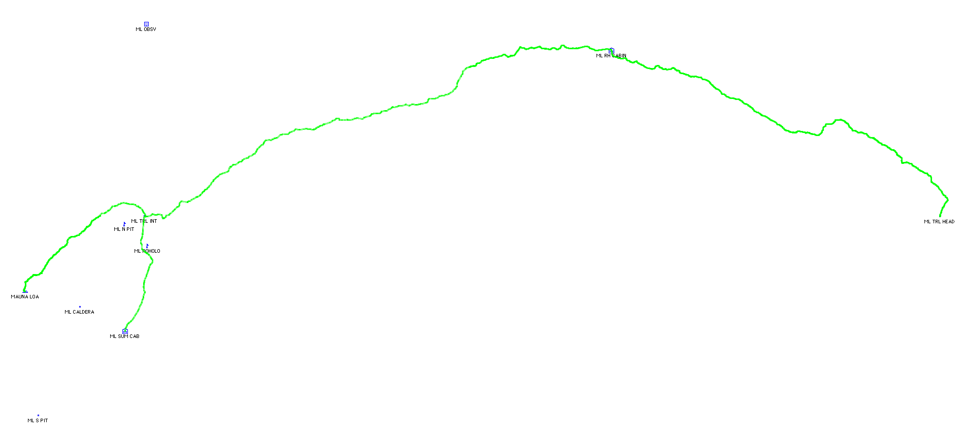
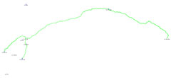
Day three involved the hike from the summit cabin back down to the trail junction, from there to the summit and back and then down to Red Hill again. Check out the map for more details.
[Lua Poholo Crater]
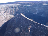
On the way down from the summit cabin and before one reaches North Pit, there's this rather impressive crater on the East side of the trail. I had seen it on Day Two as we were ascending, but due to the rain I couldn't really take any pictures. This morning the sun was in a bad position so I was left with a little bit of lens flare going on. We stopped here and had breakfast.
[Trail Junction - Again]
After finally descending to the trail junction (the descent certainly went much faster than the ascent) I had it in my mind to summit. I couldn't deal with the thought of having flown 4,500 miles and hiked for two days just to give up at the last 2.6 miles. Melissa was smart and said that she would just continue on down to Red Hill. And this is where it gets interesting.
There's no point in taking your pack with you to the summit. I walked over to the group of signs and propped my pack up against some rocks. I took a one liter jug of water with me and started up. For whatever reason, food was not on my mind. I should have brought some. And I didn't. It kind of freaked me out during the ascent, but apparently I survived. Also, there's the danger than your pack won't be there when you get back. My rational went something like this: first and foremost, no one wants to carry someone else's pack, even if for the purpose of stealing it; more importantly, no one could have reached the trail junction at that hour, from Red Hill. I guess someone could have driven up the observatory road and then walked the several miles to the junction. Anyway, it all seemed sufficiently unlikely. One's only recourse upon returning to the junction and finding the pack missing is to hike to the observatory and hope that you can get help there. The water at the summit needs to be purified and there's no way to make it to Red Hill without at least a liter or two of water (plus food). Anyway, enough dwelling on bad thoughts.
[Going to the Summit]
So, ill-prepared (only one liter of water and no food) I started the ascent to the actual summit of Mauna Loa (which is on the West side of the caldera, opposite the cabin (someone's brilliant idea). After I realized that the one liter of water was quite possibly insufficient, I decided that as soon as I had consumed half of the water I would turn back - as much as that would have sucked.
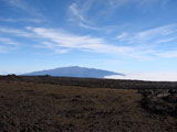
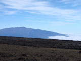
Along the way I got a couple more good shots of Mauna Kea.
The first 0.6 miles of the ascent from the trail junction sucks tremendously: it's nothing but unstable lava rock. A decent chunk of the ascent is sort of bounding from rock to rock which is pretty fast. And then very much near the top the trail all goes to pot. It truly ceases being a trail. The rock piles are more of a guideline specifying, "you should be over here; but how you get here is up to you; and good luck with that." And it's pretty easy to lose track of the correct direction. It's a bit frustrating and fairly slow-going.
Along the way the trail occassionally approaches the caldera edge and off in the distance one can see the summit (look for the little pile of rocks). Also, here's a picture looking towards South Pit during the ascent.
[Mauna Loa Summit]
Despite the crappy terrain, the 2.6 mile ascent goes by fairly quickly and the summit is marked by a prominent pile of rocks. I meant to do quite a number of things while at the summit (including taking a picture of the pile of rocks), but I was really only thinking about food and water. I did manage to take a few pictures however.
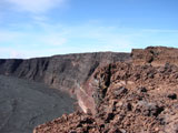
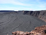
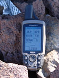
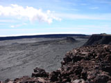
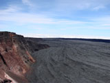
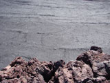
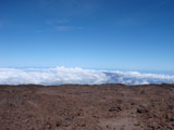
First off, I set the GPS on the pile of rocks and photographed it ... it gives the altitude, longitude, latitude (and a few other things). Then there's a picture looking across the caldera roughly to the East. Then there's a picture looking towards North Pit. And finally there's a picture looking straight down the 600 foot drop.
I only hung around the summit for a few minutes and then started back down. The lack of water might have had something to do with that. It also hit me that every breath I took during the rest of this trip (for the most part) would be slightly more useful (ie, lower in altitude) than the previous. Surprisingly though, I didn't experience even the slightest bit of altitude sickness at the summit. It's only slightly higher than the summit cabin, so maybe that isn't so surprising.
[View from on High]
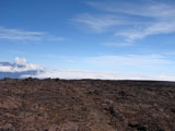
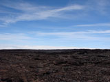
On the way down from the summit towards the trail junction I snapped a couple more pictures.
[Trail Junction - Again, again]
Overall the summit trip took a little shy of three hours. It is approximately 5.2 miles. It's quite a way to start one's morning. Perhaps the most depressing part is that upon arriving back at the trail junction and picking up my pack, I realized that I still had to do another ten miles before I could stop for the day. Melissa had a full three hour head-start on me, so I didn't anticipate catching up with her. Before I left the trail junction, I drank a bunch of water and had a bite to eat.
[Red Hill Cabin]
My feet had survived the first two days (all up-hill) without any problems at all. Down-hill on the other hand proved to be brutal. And today amounted to a little over seventeen miles of hiking. I hadn't taped my toes or anything, and I had several impressive blisters upon arriving at Red Hill. I gained about half an hour on Melissa during the descent, so I didn't even come close to catching up with her. I knew that there was no way that I would be able to catch up with her, but that didn't stop my mind from "seeing her" in various distant rock formations, many times. This situation would have been ideal if I had some Rino's: being able to see exactly where she is, and with the two-way radios, well, it just would have been really cool. Maybe next time.
I did as little walking as possible during the remainder of this evening, and we went to sleep pretty early. I knew that the following day would be a relatively short (eight mile) hike, but it was the steepness that concerned me - since it was the downhill that blistered my feet in the first place. At least now I knew exactly where I needed to tape/pad my feet. Quite unequivocably.
|