|
[Trail Log]
Stuff - GPS files; pictures; gear tips. Read about it here.
Day 0 - Traveling to Hilo; getting hiking passes; getting supplies; being bored. Read about it here.
Day 1 - Driving to the trail head; hiking to Red Hill cabin. Read about it here.
Day 2 - From Red Hill cabin to the summit cabin. Read about it here.
Day 3 - From the summit cabin to the actual summit; back down to Red Hill cabin. Read about it here.
Day 4 - From Red Hill cabin back to trail head. Read about it here.
[Day 2 - October 02, 2006]
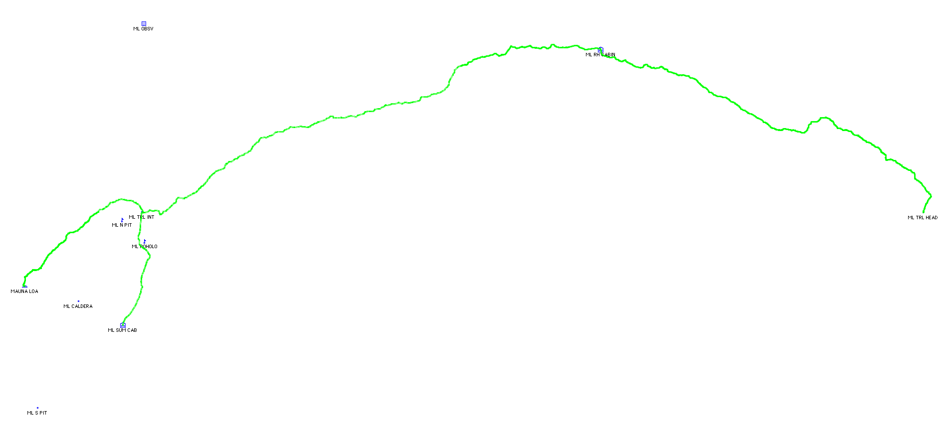
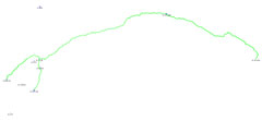
Day two involed the hike from Red Hill cabin to the trail junction near North Pit and from there to the Mauna Loa summit cabin. This works out to approximately twelve miles and you ascend from a little over 10,000 feet at Red Hill cabin to 13,359 feet at the summit cabin. Look at the trail map for more information.
[Getting Started]
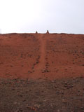
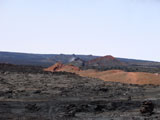
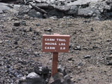
With sunrise around 06.00 I decided that we should wake up around 05.30. Each morning we woke up a bit later - emerging from one's sleeping bag into the cold morning air quickly loses whatever appeal it may have had in the beginning. From the top of Red Hill one can see the trail that proceeds from Red Hill towards the summit - at least a little bit of it. The trail starts out sucking pretty quickly. These fist-sized lava rocks are a pain to walk on, and brutal on one's boots. There's also another trail directly in front of the cabin that leads to the top of a small hill with two piles of rocks ... and then ends. Kind of pointless. One has to have a lot of motivation in order to carry rocks to the top of a hill. Maybe it used to go somewhere. Also, you can see how the cabin was protected from a big lava flow by the hills - it just flowed around it. Pretty neat. Perhaps that has something to do with the seemingly pointless Trail to Nowhere. Hmm.
[Dewey Cone]
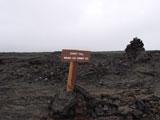
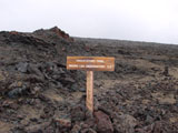
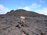
Dewey Cone is one of only a few landmarks that achieved signage - other than the elevation signs. I guess it was named after Dewey. No further information is provided on the map. It is pretty unremarkable.
[Steaming Cone]
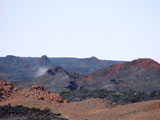
Steaming Cone is the other landmark which achieved signage. The relevance of its name is more immediately obvious. Thankfully, the trail does not take one in front of the steam. My experience with steam resulting from a volcano is that one's lungs get a good taste of ash and acid - a lot like rapidly smoking several packs of cigarettes, I suspect. The trail goes around on the right side of steaming cone - opposite the steaming part.
[Mauna Kea]
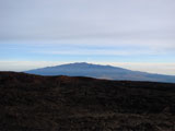
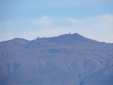
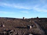
Mauna Kea (which summit is slightly higher than that of Mauna Loa) is visible at various times during the hike. It has an abundance of observatory equipment on it. On the segment of the trail leading from the trail junction to the actual summit of Mauna Loa, there exist several "contraptions" with some sort of geological equipment a solar cell and a yagi-style antenna pointed at Mauna Kea. They probably have some pretty neat stuff going on over there, I suspect.
[View from On High]
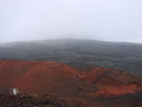
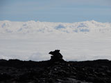
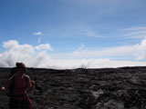
While we got rained on the first day, and again on the second day, as we ascended the clouds tended to end up below us ... which was good for avoiding rain. Not so good for sun burns though. There were several places where the clouds seemed to touch the mountain way below.
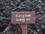
On the way up to the trail junction (I think) one passes the 13k sign.
[Trail Junction]
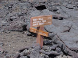
The trail junction is a big deal. It is about ten miles from Red Hill cabin and sits a little over 13,100 feet above sea level. From this point one can proceed 2.1 miles to the summit cabin (East side of the caldera), 2.6 miles to the true summit (West side of the caldera) or 3.5 miles to the observatory (off in some completely different direction).
Although I neglected to take a picture of it, there exists a rather impressive looking shelter dug into the ground at this junction, near the collection of signs. It has a fairly sturdy looking wall built of stacked stones, and a nice set of steps. In an area that is otherwise void of any sort of shelter, it is actually quite nice.
[North Pit]
From the trail junction we headed towards the summit cabin. First you immediately descend around 30 feet into the North Pit which is entirely unlike anything you will have seen earlier in the day. It is a large, flat expanse. Also, if the sun is shining on it, it is rather warm. And this is also where we learned the truth behind the ranger's warning regarding sudden weather changes. I don't have any pictures at all between our arriving at the trail junction and the following morning. It all played out like this:
We had been wearing light jackets which had been quite sufficient thus far. As we entered North Pit we immediately started over-heating. It was like standing in a parking lot on a hot summer day - the sun was shining directly on us, and I guess the heat was radiating off the dark surface. We stopped, took off the jackets, went through the rather time-consuming process of packing them, and then started walking again.
Almost immediately after proceeding on our way, clouds came out of nowhere and obscured the sun and the wind picked up followed by a light rain. We had experienced rain on and off the previous day, and it was usually a non-issue: very light and/or brief. It's also a bit time consuming to stop, drop the packs, open them up, pull out the rain gear, put on the rain gear (pants, jacket, etc.), close up the packs, hoist the packs back onto one's back, and so forth - so it's nice to be able to know in advance that one is going to need rain gear. No such luck this time. The rain continued to get harder and it was now down-right cold since that radiating heat completely vanished. After a few minutes I decided that we should put on the rain gear and several minutes later we had it on, and it was pouring rain and the wind had seriously picked up.
And then it started to hail. I didn't have a hat that covered my neck, and the wind/rain/hail was coming from directly behind us, so as we made our way across the baren North Pit, the hail just stung my sunburned neck. Around the time we exited North Pit the hail let up, the rain returned, and largely persisted for the remainder of the trek to the summit cabin. It was so very cold.
And those last two miles take a long time. Its some seriously rough terrain. The sight of the cabin off in the distance was a very welcome sight.
[Mauna Loa Cabin]
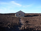
The following morning I snapped a picture of the summit cabin. The inside and outside are very well maintained. The bunks certainly creak quite a bit whenever one moves, but they seem sturdy enough. There were even several sleeping bags available - although none of them looked particularly warm. I was very happy to have my -15 degree (F) sleeping bag with me.
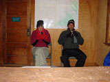
The one and only reason that all of the aforementioned wind/rain/hail was even the least bit amusing, was a friend of ours back in Atlanta. Born and raised in or around Georgia and having hiked many of the tremendous 4,000-ish foot peaks that Georgia has to offer, he adamantly declared, "it's Hawaii, and it's September, it won't be cold." We were talking trash about him that night as we were freezing. That's wool socks, a wool beanie, two pairs of pants, two shirts, a fleece jacket, a gortex jacket and gloves. It was cold. Even took a picture to commemorate the moment. Oh yeah, and those cold medal chairs certainly wake you up when you sit on them for the first time.
[Mauna Loa Caldera]
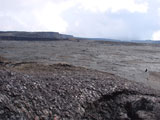
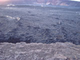
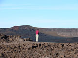
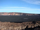
From the summit cabin there is a pretty spectacular view of the caldera - along with a five-hundred-ish foot drop. You can even pick out the summit (I think), which is marked by a (you'd never guess this) ... pile of rocks. Down in the caldera there are numerious areas that are constantly steaming. Given an extra day to spend on the summit, it would definitely be interesting to walk around in there. Lacking such a day and valuing my life, I did no such thing. Although, I think the lack of an extra day was probably the bigger issue for me. The sun was setting on the second day when I took these pictures, so there's a bit of glare. Deal with it. Or go and take your own pictures.
[Facilities]
The view from the facilities at the summit cabin is second to none; and many other sources will tell you the same thing. What those many other sources won't tell you is that one's attention to the view is somewhat lessened by this intense up-draft. The "leach field" is just this fissure under the toilet, and it gets a pretty strong breeze blowing along it. It's a unique experience - to so many of one's senses.
|